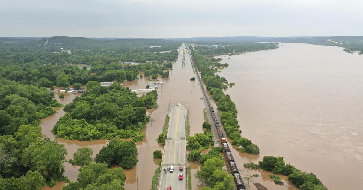
r.hazard.flood is an implementation of a fast procedure to detect flood prone areas. It is based on a simple procedure that exploits the correlation between flood exposure and a Modified Topographic Index (MTI), calculated on the basis of the DTM and strongly influenced by the resolution of this latter.
https://grass.osgeo.org/grass76/manuals/addons/r.hazard.flood.html
Reference: Manfreda S., Di Leo M., Sole A., Detection of Flood Prone Areas using Digital Elevation Models, Journal of Hydrologic Engineering, (10.1061/(ASCE)HE.1943-5584.0000367), 2011. [pdf]
