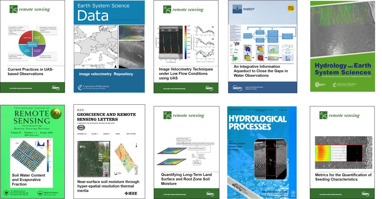
This year, COST Action – HARMONIOUS members produced a quite impressive number of results working online. Imagine what we could do without restrictions!
See the following list:
1. Use of UAVs with the simplified “triangle” technique https://lnkd.in/dFQftqY
2. Identifying the optimal spatial distribution of tracers https://lnkd.in/dyEcmzq
3. A geostatistical approach to map near-surface soil moisture https://lnkd.in/dymZzHB
4. Refining image-velocimetry performances for streamflow monitoring https://lnkd.in/dyQzvyc
5. Metrics for the quantification of seeding characteristics https://lnkd.in/gvMBe4c
6. Harmonisation of image velocimetry techniques for river surface velocity observations https://lnkd.in/d-ygHpY
7. An integrative information aqueduct to close the gaps in water observations https://lnkd.in/dfTHZcG
8. Practical guidance for UAS-based environmental mapping https://lnkd.in/dAAuFmf
9. Long-term soil moisture observations over Tibetan Plateau https://lnkd.in/dguKMCE
10. Image velocimetry techniques under low flow conditions https://lnkd.in/dGRwY9Y
#hydrology #environmentalmonitoring #remotesensing #UAS #rivermonitoring
