Measuring object displacement and deformation in image sequences is an important task in remote sensing, photogrammetry and computer vision and a vast number of approaches have been introduced. In the field of environmental sciences, applications are, for instance, in the studies of landslides, tectonic displacements, glaciers, and river flows (Manfreda et al., 2018). Tracking algorithms are vastly utilized for monitoring purposes in terrestrial settings and in satellite remote sensing, which need to be adapted for the application with UAV imagery because resolution, frequency and perspective are different. For instance, geometric and radiometric distortion need to be minimal for successful feature tracking, which can be a large issue for UAV imagery in contrast to satellite imagery with much smaller image scales (Gruen, 2012).
Using UAV systems for multi-temporal data acquisition as well as capturing images with high frequencies during single flights enables lateral change-detection of moving objects. And if the topography is known, a full recovery of the 3D motion vector is possible. The underlying idea is the detection or definition of points or areas of interest, which are tracked through consecutive images or frames considering the similarity measures.
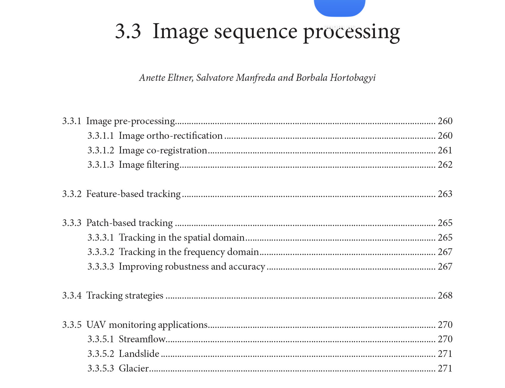
In this chapter, pre-processing steps to successful image tracking and vector scaling are introduced. Afterwards, two possible strategies of tracking, i.e. feature-based and patch-based, are explained. Furthermore, different choices of tracking in image sequences are discussed. And finally, examples are given in different fields.
How to cite: Eltner, A., Manfreda, S., Hortobagyi, B., Image Sequences Processing, Unmanned Aerial Vehicles In Environmental Sciences, edited by Eltner, A.; D. Hoffmeister; A. Kaiser, P. Karrasch, L. Klingbeil, C. Stöcker, A. Rovere, (ISBN 978-3-534-40588-6), 260-272, 2022. [PDF]
