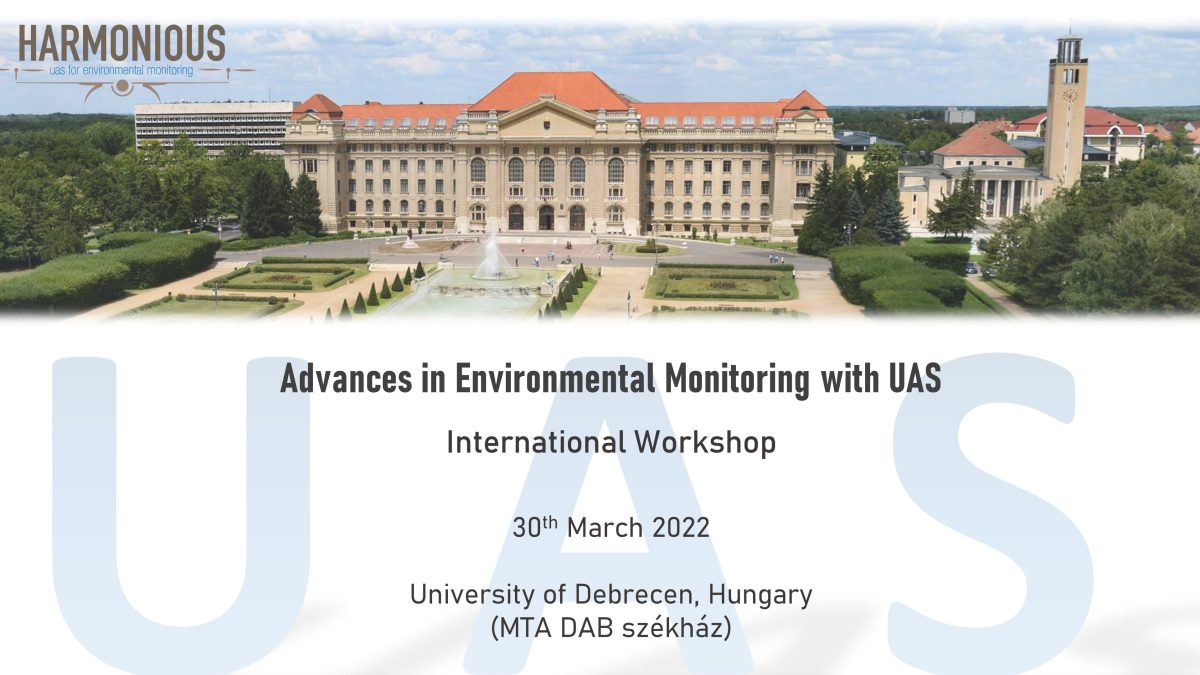
University of Debrecen, Hungary
Detailed program of the Workshop
08:30 – 09:30 Registration
09:30-09:50: László Bertalan, Brigitta Tóth: Welcome from local organizers
09:50-10:05: Salvatore Manfreda – The achievements HARMONIOUS COST Action
10:05-10:25: Plenary talk: Francesco Nex – Towards real-time UAV mapping: example, challenges and opportunities
10:25-10:55: Plenary talk: James Dietrich – Drones for River Monitoring, a ten-year perspective
10:55-11:20 Coffee Break
11:20-11:35: Eyal Ben-Dor – Summary of WG5: Harmonization of methods and results
11:30-11:50: Sorin Herban – Summary of WG1: UAS data processing
11:50-12:05: Jana Müllerová – Summary of WG2: Vegetation status (part 1)
12:05-12:20: Antonino Maltese – Summary of WG2: Vegetation status (part 2)
12:20-12:35: Yijian Zeng – Summary of WG3: Soil moisture content
12:35-12:50: Dariia Strelnikova – Summary of WG4: River monitoring
12:50-14:30: Lunch break
14:30-14:45: Gábor Papp – HungaroControl’s Air-Ground-Air communication concept in order to enable UAVs’ ecosystem
14:45-15:00: Géza Király et al. – UAS and their application in forest monitoring
15:00-15:15: Gábor Bakó et al. – HRAM: High Spatial Resolution Aerial Monitoring Network for Nature Conservation
15:15-15:30: Ferenc Kovács et al. – Application of UAV imagery in environmental research at the University of Szeged
15:30-15:45: Anette Eltner et al. – Hydro-morphological mapping of river reaches using videos captured with UAS
15:45-16:00: Ilyan Kotsev et al. – UAS-aided bedform and habitat mapping of Bolata Cove, Bulgarian Black Sea
16:00-16:30: Coffee Break
16:30-16:50: Lance R. Brady – UAS for Research and Applied Science in the United States Geological Survey
16:50-17:05: Kamal Jain et al. – Crop identification and classification from UAV images using conjugated dense convolutional neural network
17:05-17:20: Nicolas Francos et al. – Mapping Water Infiltration Rate Using Ground and UAV Hyperspectral Data: A Case Study of Alento, Italy
17:20-17:35: Martin Jolley et al. – Considerations When Applying UAS-based Large-Scale PIV and PTV for Determining River Flow Velocity
17:35-17:50: Adrian Gracia-Romero et al. – UAS plant phenotyping under abiotic stresses
17:50-18:05: Shawn C. Kefauver et al. – High-resolution UAV Imaging for Forest Productivity Monitoring

