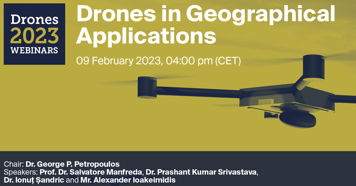
Do not miss the Webinar organised by Drones MDPI on Drones in Geographical Applications!!!
Webinar will be coordinated by George P. Petropoulos and it will include the following talks:
Unmanned Aerial Systems for Monitoring Soil, Vegetation, and River Systems – Salvatore Manfreda
Role of UAV in Precision Agriculture: Exploring the Capabilities Through Case Studies – Dr. Prashant K. Srivastava
Mapping Landslide Features from High-Resolution Drone Imagery – Ionut Sandric
Unmanned Aerial Vehicles for ISR, Search and Rescue, Defense and Cargo Transfer missions – Mr. Alexander Ioakeimidis
Save the date!
#webinar #UAS #Drones #monitoring