
8th Galileo Conference in Naples (Italy)
Considering this year’s meeting situation, the organizing team has decided it is necessary to post-pone the event by one year to ensure for all participants a successful, safe on-site meeting…
Università degli Studi di Napoli Federico II - DICEA
Considering this year’s meeting situation, the organizing team has decided it is necessary to post-pone the event by one year to ensure for all participants a successful, safe on-site meeting…
Extreme rainfall events are increasing in both number and intensity at global scale; however, it is hard to quantify the impact of climate change at local scale given the strong…
The inherent biases of different long-term gridded surface soil moisture (SSM) products, unconstrained by the in situ observations, implies different spatio-temporal patterns. In this study, the Random Forest (RF) model…
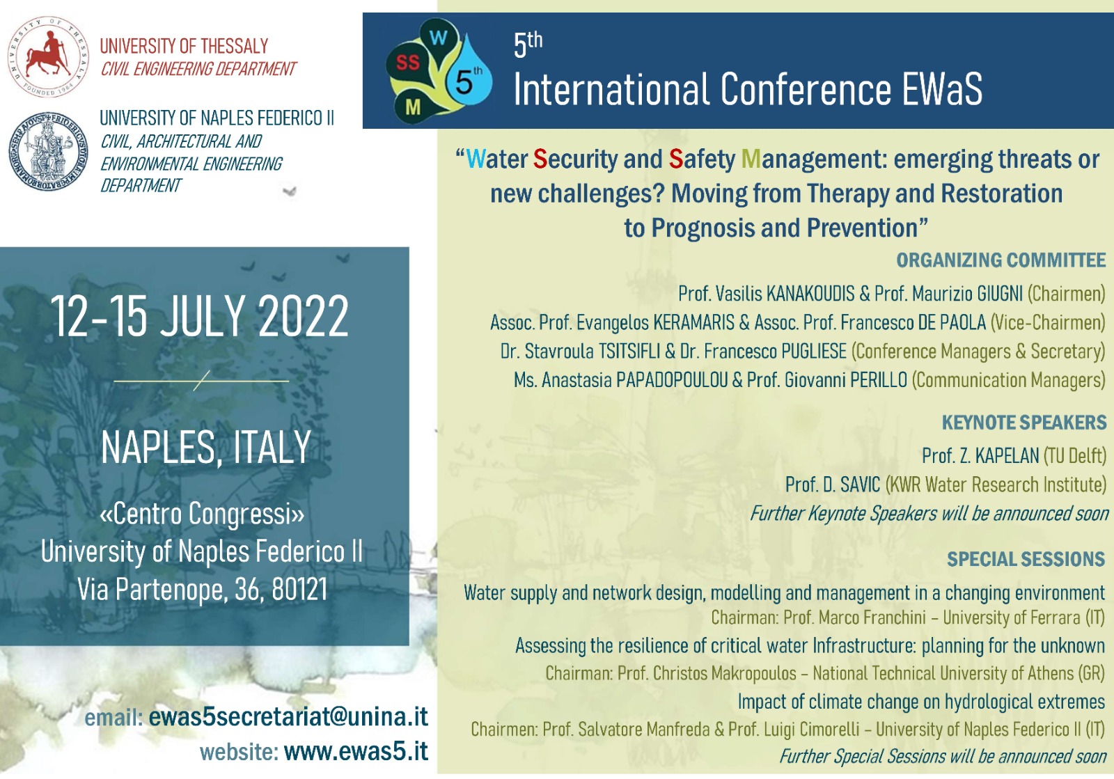
University of Naples Federico II and University of Thessaly are organizing the 5th EWaS (Efficient Water Systems) International Conference on “Water Security and Safety Management: emerging threats or new challenges?…
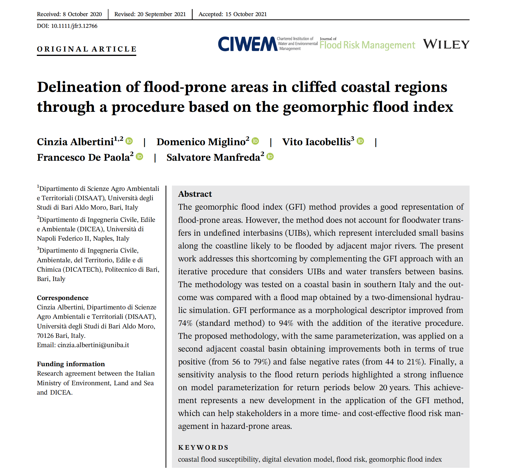
The geomorphic flood index (GFI) method provides a good representation of flood-prone areas. However, the method does not account for floodwater transfers in undefined interbasins (UIBs), which represent intercluded small…
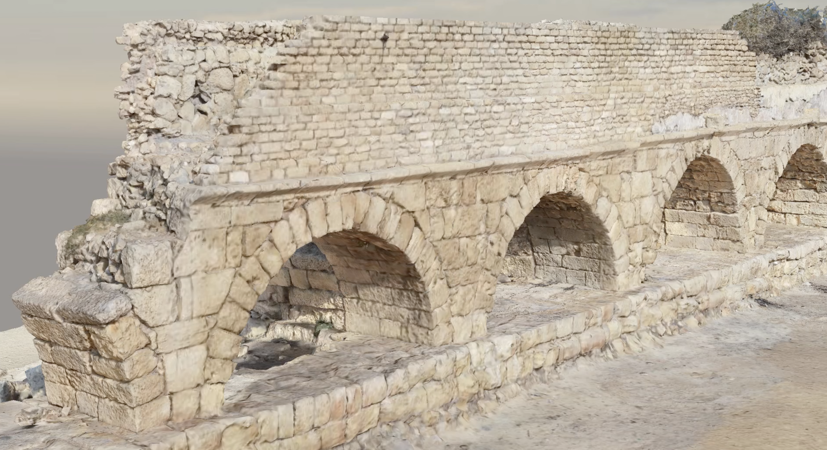
UAS-based surveys and structure from motion (SfM) can lead to extraordinary and realistic 3D models to preserve our cultural heritage. In our recent applications, our members are developing new strategies…
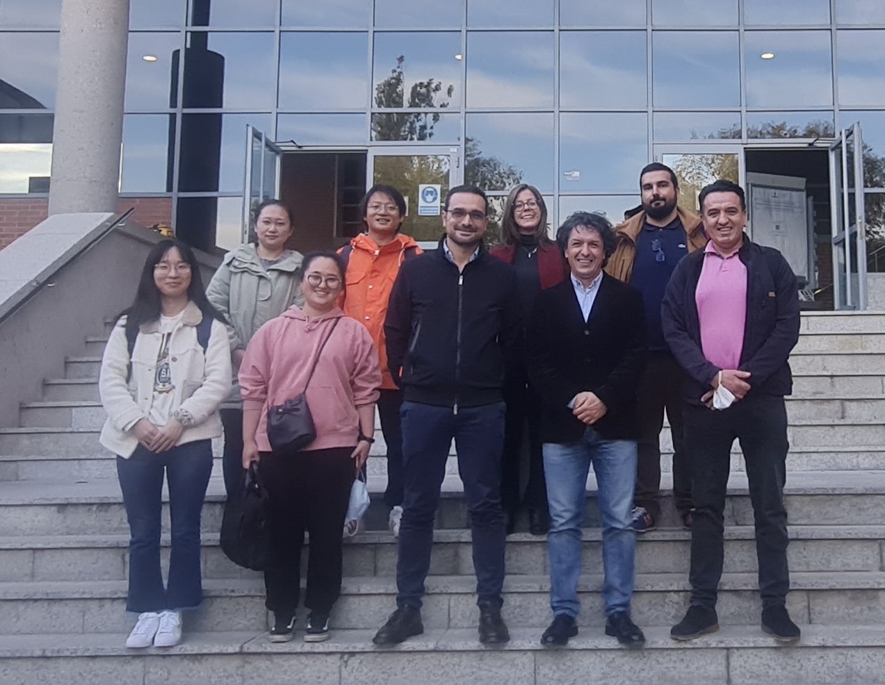
The Department of Topography and Cartography of the Technical University of Madrid hosted our work group meeting of COST Action – HARMONIOUS from 27 up to the 30 of October.…
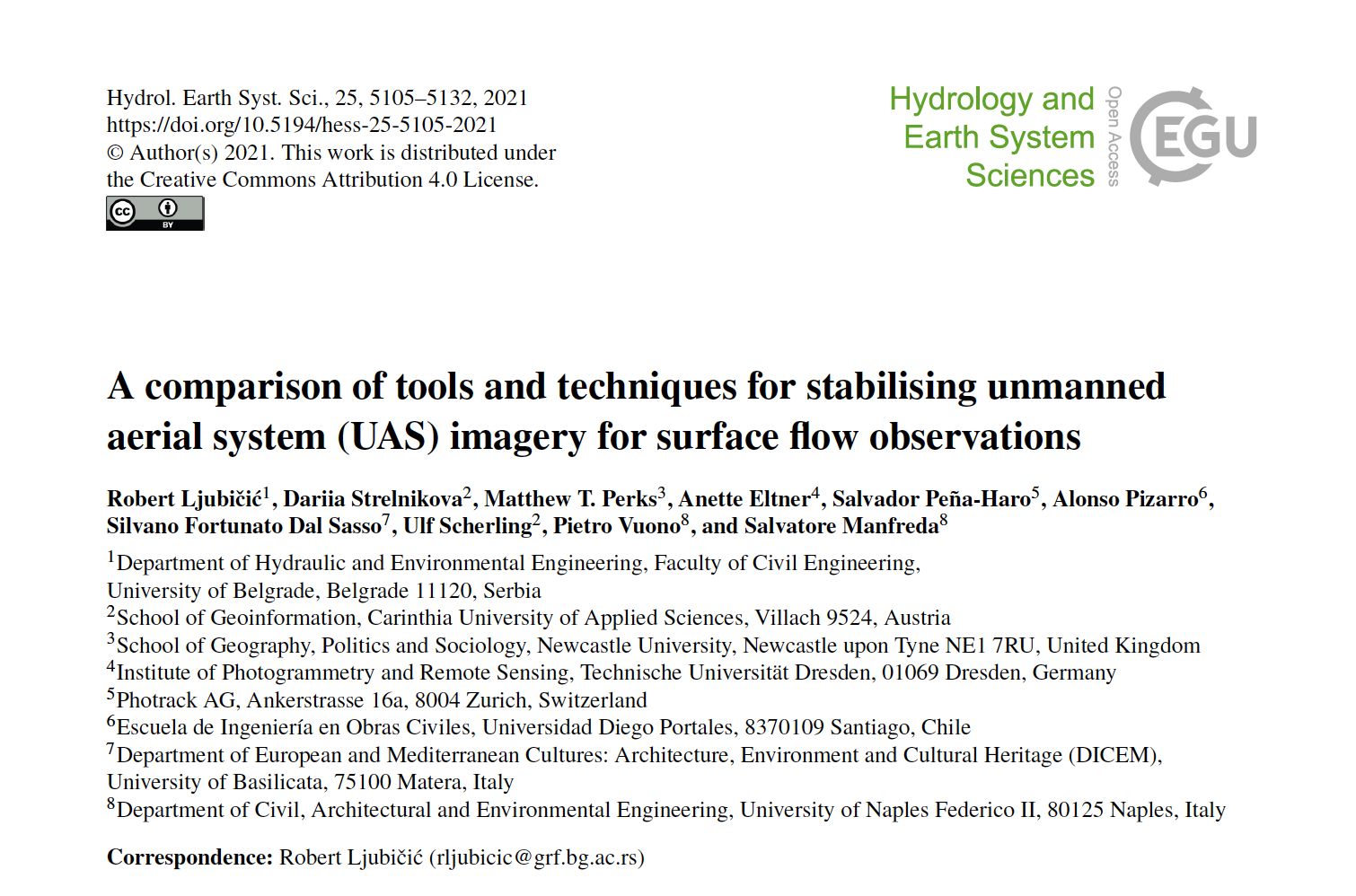
While the availability and affordability of unmanned aerial systems (UASs) has led to the rapid development of remote sensing applications in hydrology and hydrometry, uncertainties related to such measurements must…
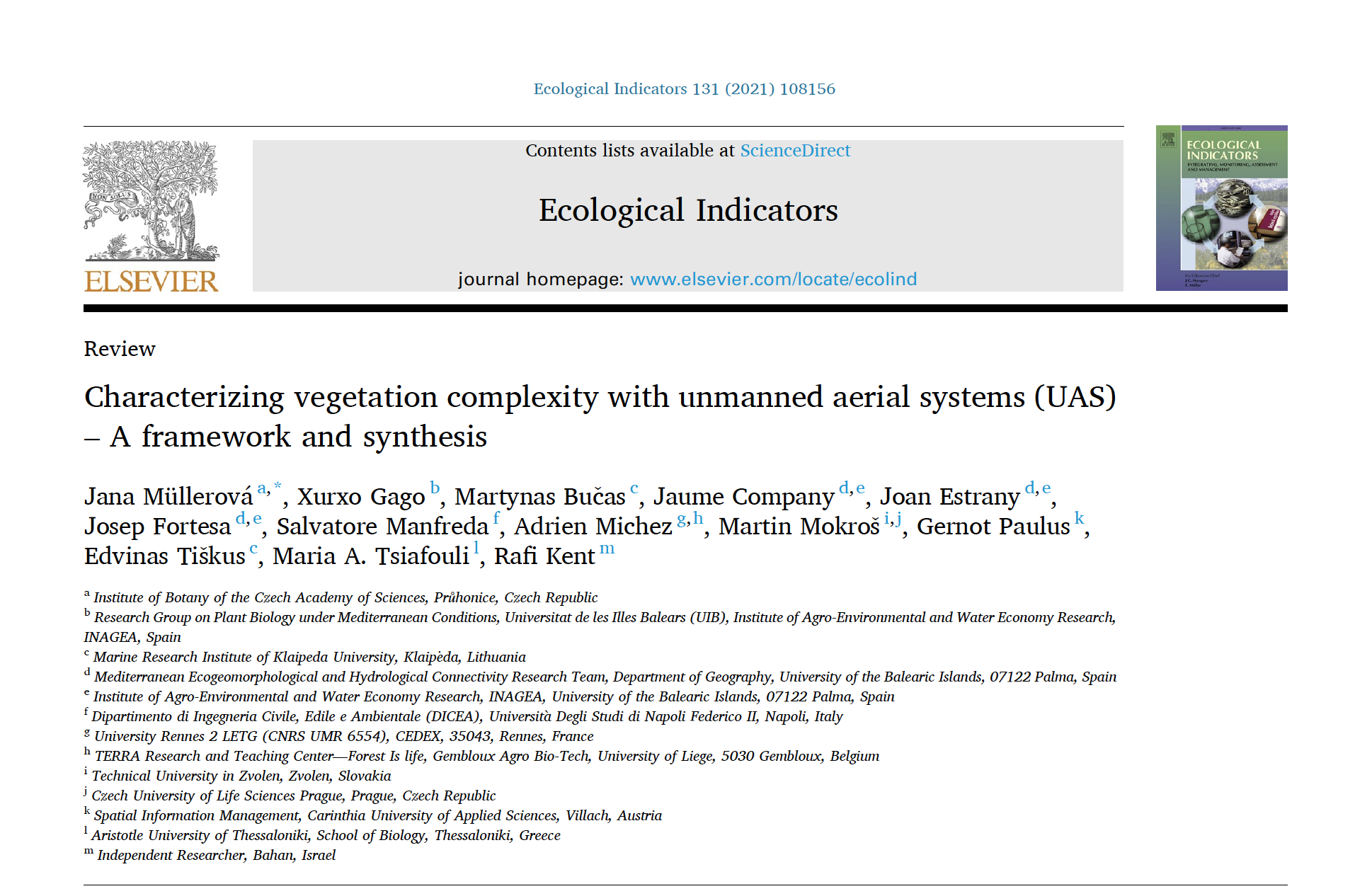
Ecosystem complexity is among the important drivers of biodiversity and ecosystem functioning, and unmanned aerial systems (UASs) are becoming an important tool for characterizing vegetation patterns and processes. The variety…
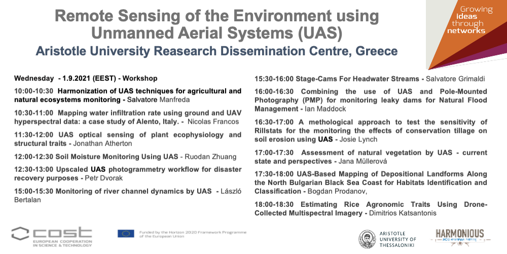
The next Generally Assembly entitled Remote Sensing of the Environment using Unmanned Aerial Systems (UAS) of the Harmonious Cost Action will be on live streaming https://auth.gr/video/29478 Program 9:00-9:30 Registration and…
Videos acquired from Unmanned Aerial Systems (UAS) allow for monitoring river systems at high spatial and temporal resolutions providing unprecedented datasets for hydrological and hydraulic applications. The cost-effectiveness of these…

Detention dams are one of the most effective practices for flood mitigation. Therefore, the impact of these structures on the basin hydrological response is critical for flood management and the…
Water infiltration rate (WIR) into the soil profile was investigated through a comprehensive study harnessing spectral information of the soil surface. As soil spectroscopy provides invaluable information on soil attributes,…

Research and innovation driving transformative change. Becoming the world’s first climate-neutral continent by 2050, Europe needs to modernize the approach to engineering design, to ensure an inclusive ecological transition. Research…
Unmanned Aerial Systems (UAS) play an increasingly important role in collecting data for environmental monitoring. The primary challenges for UAS in environmental studies include creating consistent, standardised guidelines for data…